Loveland Map
Map of Loveland, Colorado uses the base map data from TomTom. The data is updated every 6 months making this one of the most updated printed large map of Loveland and its neighborhood areas.
This map is available in a scale of 1:19,000 in 24 x 36 inches. If you want a map with different extents, orientation, or scale, you can do that by customizing the map here.
If you have any questions, we will be happy to answer over the phone (866) 525-2298 or write to us
This map is available in 24 x 36 in. Please select a finish of your choice
Please wait, adding to your cart
Please wait, initializing the product
About Loveland, Colorado
Loveland is the Home Rule Municipality in Larimer County, Colorado. The Fort Collins-Loveland Metropolitan Statistical Area and Front Range Urban Corridor.The Zip codes of the Loveland City range from 80534,80537-80539. The area code is 970.
Loveland is located south of Fort Collins. The northern part city limits are now contiguous with those of Windsor, which has expanded westward from Weld County across Interstate 25. Loveland has expanded its incorporated limits eastward to embrace the interchange of Interstate 25 and U.S Highway 34 and is currently developing the area. Loveland is situated 46 miles (74 km) north of Denver.
More Maps
| SKU | svd_co_loveland_24 |
|---|---|
| Map Scale | 1:19,000 |
| Flat Size | 24 x 36 in |
Write Your Own Review
Related Products


Nearby Locations
-
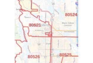
![Fort Collins ZIP Code Map, Colorado]() Fort Collins ZIP Code Map, ColoradoPrice from $41.99
Fort Collins ZIP Code Map, ColoradoPrice from $41.99 -
![Fort Collins Map]() Fort Collins MapPrice from $32.99
Fort Collins MapPrice from $32.99 -
![Greeley Map]() Greeley MapPrice from $24.99
Greeley MapPrice from $24.99 -
![Longmont Map]() Longmont MapPrice from $24.99
Longmont MapPrice from $24.99 -
![Windsor Map]() Windsor MapPrice from $24.99
Windsor MapPrice from $24.99 -
![Johnstown Map]() Johnstown MapPrice from $24.99
Johnstown MapPrice from $24.99