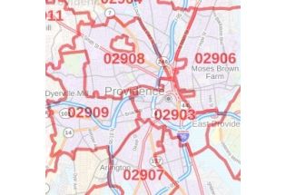
Kent County Zip Code Map, Rhode Island
This Zip Code Map of Kent County, Rhode Island has been built with precision based on well-researched data. The map marks all the 5 digit Zip Code areas using red boundaries. Significant physical attributes like water bodies, Forested areas, recreation parks (Goddard Memorial State Park, Rocky Point State Park, and more) are also clearly visible on the map. Transportation routes (I-95, I-295, US-1, US-1A, Route 2, Route-3, and more) interlinking the counties of the state of Rhode Island, USA are marked on the map with color-coded markings. Major infrastructure like airports, police stations, postal districts, industrial complexes, hospitals and border crossings are also identifiable.
This map is available in a scale of 1:35,000 in 48 x 36 inches in landscape orientation. If you want a map with different extents, or portrait orientation, or scale, you can do that by customizing the map here. If you have any questions, we will be happy to answer over the phone (866) 525-2298 or write to us