Andrews Map of the Great Lakes and St. Lawrence Basin (1853)
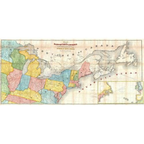
1853 map of the St. Lawrence Basin by prominent Canadian railway engineer and civil engineer Tomas C. Keefer for Israel D. Andrews' report to Hon. Thomas Corwin, Secretary of the Treasury. Full title: Map of the Basin of the St. Lawrence Showing also the Natural and Artifical Routes Between the Atlantic Ocean and the Interior of North America.
Details
1853 map of the St. Lawrence Basin by prominent Canadian railway engineer and civil engineer Tomas C. Keefer for Israel D. Andrews' report to Hon. Thomas Corwin, Secretary of the Treasury. Full title: Map of the Basin of the St. Lawrence Showing also the Natural and Artifical Routes Between the Atlantic Ocean and the Interior of North America.
More Information
| SKU | artokoloro-AM-170829-1605-1 |
|---|---|
| Flat Size | 26.75 x 12.25 in |
| Publication Date | 1853 |
| Publisher Name | Artokoloro |
Reviews
{{title}}
{{detail}}
No reviews yet ...
Have an opinion? Help others decide. Share your knowledge about this product by submitting a review.
{{/items}}
{{#previousPage}}
Previous Page
{{/previousPage}}
{{#load-more-src}}
Next Page
{{/load-more-src}}
★★★★★
★★★★★