Bakersfield Map
Details
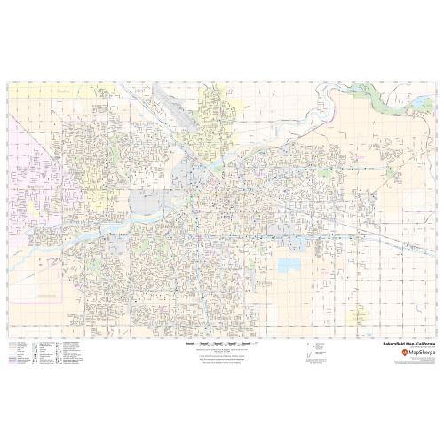
An interactive Bakersfield City map shows street details with clearly marked landmarks, government buildings, schools, churches, rivers, University, (California State University Bakersfield) important routes, highways (SR-99, SR-204), and more. The map also highlights Municipal, Town, and Zip code boundaries. The map also depicts hospital campuses, postal districts, streets and neighborhoods, industrial areas, and recreation areas like parks, Golf courses, and much more. A map legend featured at the bottom helps all the signs, characters graphics, and symbols used throughout the map.
About Bakersfield, California
Bakersfield is a charter city in Kern County, California, United States. It is the county seat and largest city of Kern County and part of the Bakersfield-Delano Metropolitan Statistical Area. The City covers about 151 sq miles (390 km2) near the southern end of the San Joaquin Valley and the Central Valley region.
The city limits extend to the Sequoia National Forest, at the foot of the Greenhorn Mountain Range.
Bakersfield is a significant hub for both agriculture and energy production. Industries in and around Bakersfield include natural gas and other energy extraction, mining, petroleum refining, distribution, food processing, and corporate regional offices.
More maps of California Cities
More Information
| SKU | svd_ca_bakersfield_24 |
|---|---|
| Map Scale | 1:23,000 |
| Flat Size | 24 x 36 in |
Reviews
{{title}}
{{detail}}