College Station Map
Details
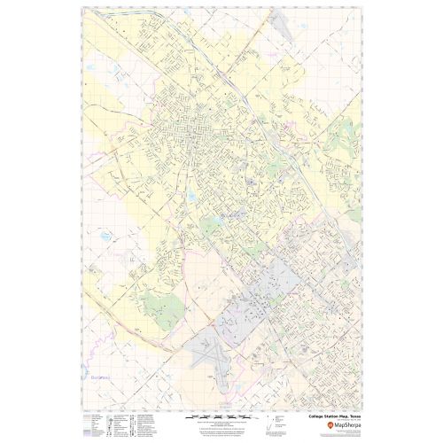
This map of College Station city shows street details with clearly marked landmarks, government buildings, schools, churches, important routes, highways (U.S-190)(SR-6),(SH-21) and much more. Information on the map also highlights Municipal, Town, and ZIP code boundaries. Infrastructures such as hospitals, shopping malls, exhibition centers, industrial complexes, airports, parks, recreation areas, and other business-centric features can be identified in the map.
About College Station, Texas
College Station is a city in Brazos County, Texas, situated in East-Central Texas in the heart of the Brazos Valley, in the center of the region known as Texas Triangle. It is 83 miles (130 Kilometres) northwest of Houston and 87 miles(140 km) east northeast of Austin. College Station and Bryan together make up the Bryan-College Station metropolitan area. The city is bordered by the City of Bryan to the northwest.
Facts and Figures of College Station, Texas
- Latitudinal and longitudinal Coordinates- 30.36’05” N 96.19’52” W
- Elevation-338 ft (103 m)
- Zip Code-77840-77845
- Area Code-979
- Total Area-49.6 sq miles(128.1 km2)
More maps of Texas Cities
More Information
| SKU | svd_tx_college_station_24 |
|---|---|
| Map Scale | 1:21,000 |
| Flat Size | 24 x 36 in |
Reviews
{{title}}
{{detail}}