World Terrain
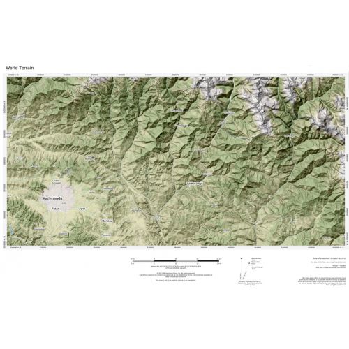
Based on Mapbox streets with terrain visualization; shaded relief and elevation contour lines atop OpenStreetMap land-use and land-cover information for the entire world. Appropriate for mapping starting at 1:10,000 and up.
Details
Based on Mapbox streets with terrain visualization; shaded relief and elevation contour lines atop OpenStreetMap land-use and land-cover information for the entire world. Appropriate for mapping starting at 1:10,000 and up.
More Information
| SKU | 809a17ba421ec54e13d5510b8670d38f |
|---|---|
| Map Specification | Minimum Print Scale: 1:10,000 |
| Publisher Name | MapSherpa |
Reviews
{{title}}
{{detail}}
No reviews yet ...
Have an opinion? Help others decide. Share your knowledge about this product by submitting a review.
{{/items}}
{{#previousPage}}
Previous Page
{{/previousPage}}
{{#load-more-src}}
Next Page
{{/load-more-src}}
★★★★★
★★★★★