England and Wales Classic
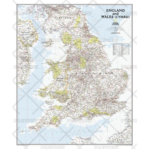
This classic-style map portrays England and Wales (Cymru) in exceptional detail. It portrays hundreds of place-names—including Welsh and Manx names—transportation networks, and administrative divisions. Each has been carefully researched and accuracy assured by National Geographic's cartographers.
This map covers all of England and Wales (Cymru), along with parts of Scotland, Northern Ireland, Ireland (Éire), and France.
Details
This classic-style map portrays England and Wales (Cymru) in exceptional detail. It portrays hundreds of place-names—including Welsh and Manx names—transportation networks, and administrative divisions. Each has been carefully researched and accuracy assured by National Geographic's cartographers.
This map covers all of England and Wales (Cymru), along with parts of Scotland, Northern Ireland, Ireland (Éire), and France.
More Information
| SKU | ngmaps-RE01020664-1 |
|---|---|
| Map Scale | 1:868,420 |
| Flat Size | 30 x 36 inches |
| Publication Date | 2012 |
| Publisher Name | National Geographic |
Reviews
{{title}}
{{detail}}