North America Political
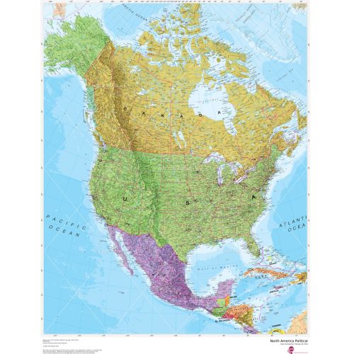
This political map of North America features countries shown in different colours, international boundaries and major transport networks. Also shown is city population detail, capital cities and all the major towns and cities in this continent of North America
Details
This political map of North America features countries shown in different colours, international boundaries and major transport networks. Also shown is city population detail, capital cities and all the major towns and cities in this continent of North America
More Information
| SKU | 4db90f42a3659332da96597edb1d95a4 |
|---|---|
| Map Specification | Optimum Print Scale: 1:7,000,000 |
| Publisher Name | Maps International |
Reviews
{{title}}
{{detail}}
No reviews yet ...
Have an opinion? Help others decide. Share your knowledge about this product by submitting a review.
{{/items}}
{{#previousPage}}
Previous Page
{{/previousPage}}
{{#load-more-src}}
Next Page
{{/load-more-src}}
★★★★★
★★★★★