Executive Canada Political
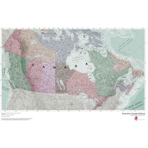
Splendid map of the Canada in muted tones. This Canada map clearly depicts all the cities, major roads and also shows all the Provinces and Territory boundaries. All major cities and areas are displayed bi-lingually.
Details
This Executive Canada map clearly depicts all the cities, major roads & also shows all the Provinces and Territory boundaries. All major cities & areas are displayed bi-lingually.
More Information
| SKU | 4db90f42a3659332da96597edb1e04b2 |
|---|---|
| Map Specification | Optimum Print Scale: 1:4,850,000 |
| Publisher Name | Maps International |
Reviews
{{title}}
{{detail}}
No reviews yet ...
Have an opinion? Help others decide. Share your knowledge about this product by submitting a review.
{{/items}}
{{#previousPage}}
Previous Page
{{/previousPage}}
{{#load-more-src}}
Next Page
{{/load-more-src}}
★★★★★
★★★★★