Greeley Map
Map of Greeley, Colorado uses the base map data from TomTom. The data is updated every 6 months making this one of the most updated printed large map of Greeley and its neighborhood areas.
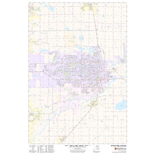
This map is available in a scale of 1:22,000 in 36 x 24 inches. If you want a map with different extents, orientation, or scale, you can do that by customizing the map here.
If you have any questions, we will be happy to answer over the phone (866) 525-2298 or write to us
Details
About Greeley
Greeley is the home rule municipality that is the county seat and most populous municipality of Weld County, Colorado, United States. Greeley is a major city of the Front Range Urban Corridor.
Greeley is located in the high plains of northern Colorado and is situated 49 miles (79 km) north-northeast of Denver and 25 miles (40 km) east of rocky mountains. Greeley is bordered on the south by the towns of Evans and Garden City. Cache la Poudre River flows through north Greeley. ZIP codes of Greeley range from 80631-80634, 80638-80639.
More Maps
More Information
| SKU | svd_co_greeley_24 |
|---|---|
| Map Scale | 1:22,000 |
| Flat Size | 24 x 36 in |
Reviews
{{title}}
{{detail}}
No reviews yet ...
Have an opinion? Help others decide. Share your knowledge about this product by submitting a review.
{{/items}}
{{#previousPage}}
Previous Page
{{/previousPage}}
{{#load-more-src}}
Next Page
{{/load-more-src}}
★★★★★
★★★★★