Lakeland Map
Details
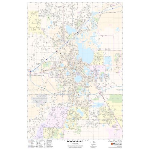
This map of Lakeland city depicts physical details like lakes (Lake Parker), recreational areas, parks, landmarks, government buildings, schools, churches, main routes (Polk Parkway), highways (I-4) (U.S-92, US-98),(SR-33),(SR-37) and much more. Information on the map also describes Municipal, Town, and ZIP code boundaries. Infrastructures such as hospitals, shopping malls, industrial complexes, airports, and other business-centric features can be identified on the map.
About Lakeland, Florida
Lakeland is a city in Polk County, Florida, along Interstate-4 east of Tampa. Lakeland is a Principal City of the Lakeland-Winter Haven Metropolitan Statistical Area. Lakeland is within the Central Florida Highlands area of the Atlantic Coastal Plain, with a terrain consisting of flatland interspersed with gently rolling hills. The dominant feature in Lakeland is the city’s many lakes. Thirty-eight lakes are named and other bodies of water unnamed. Much of the culture of Lakeland revolves around its many lakes, as people use lakes as reference points.
Facts and Figures of Lakeland, Florida
- Latitudinal and longitudinal Coordinates- 28.2’28” N 81.57’32” W
- Elevation-197 ft (60 m)
- Zip Code-33801-33815
- Area Code-863
- Total Area-75.15 sq miles(194.63 km2)
More Maps Of Florida Cities
More Information
| SKU | svd_fl_lakeland_24 |
|---|---|
| Map Scale | 1:32,000 |
| Flat Size | 24 x 36 in |
Reviews
{{title}}
{{detail}}