Huntington Beach Map
Details
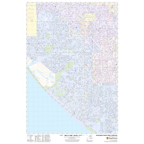
An interactive Huntington Beach City map shows street details with clearly marked landmarks, government buildings, schools, churches, beaches, University, important routes, highways (SR-1, SR-39), and more. The map also highlights Municipal, Town, and Zip code boundaries.
The map also depicts hospital campuses, postal districts, streets and neighborhoods, industrial areas, and recreation areas like parks, Golf courses, and much more. A map legend featured at the bottom helps all the signs, characters graphics, and symbols used throughout the map.
About Huntington Beach, California
Huntington Beach is a seaside city in Orange County in Southern California, located 35 miles (56 km) southeast of Downtown Los Angeles. The City is a part of Los Angeles -Long Beach-Anaheim, CA Metropolitan Statistical Area. The ZIP code of the City ranges from 92605,92615,92646-92649 and the area codes are 562, 657, and 714. Huntington Beach, creating consistent surf year long, hence the nickname ”Surf City”.
Bordering Huntington Beach, California
- West- Bolsa Chica Basin State Marine Conservation Area.
- Southwest- Pacific Ocean
- Northwest- Seal Beach
- North- Westminster
- Northeast- Fountain Valley
- East- Costa Mesa
- Southeast- Newport Beach
More maps of California Cities
More Information
| SKU | svd_ca_huntington_beach_24 |
|---|---|
| Map Scale | 1:17,000 |
| Flat Size | 24 x 36 in |
Reviews
{{title}}
{{detail}}