Roseville Map
Details
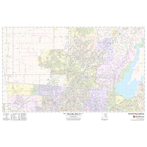
This map of Roseville city shows street details with clearly marked landmarks, government buildings, schools, churches, important routes, highways (E-3), (I-80), (SR-65), lakes( Folsom Lake), Creeks and much more. Information on the map also highlights Municipal, Town, and Zip code boundaries. Infrastructures such as hospitals, shopping malls, exhibition centers, industrial complexes, airports, parks, recreation areas, and other business-centric features can be identified in the map.
About Roseville, California
Roseville is the largest city in Placer County, California, United States, in the Sacramento metropolitan area. Interstate 80 runs through Roseville and State Route 65 runs through part of the northern edge of the City. Several streams flow through Roseville, including Dry Creek, Linda Creek, Secret Ravine, and Cirby Creek. The City of Roseville has a variety of businesses including large retail centers as Roseville is considered a regional shopping destination.
Facts and Figures of Roseville, California
- Latitudinal and longitudinal Coordinates- 38.45’9” N 121.17’22” W
- Elevation - 164 ft (50 m)
- Zip Code - 95678,95661,95747
- Area Code - 916,279
- Total Area - 42.99 sq miles(111.3 km2)
More maps of California Cities
More Information
| SKU | svd_ca_roseville_24 |
|---|---|
| Map Scale | 1:15,000 |
| Flat Size | 24 x 36 in |
Reviews
{{title}}
{{detail}}