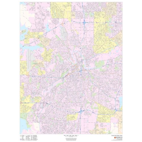
Central Forth Worth Map, Texas - Portrait
This portrait-oriented map of central Forth Worth, Texas shows detailed street level information including extensive street labeling. Ideal for planning of deliveries, home services, sales territories, real estate and much more. Base map features include all roads with major roads and highways labelled; neighborhood names; railways; high level land use such as parks and recreation areas, industrial areas and hospital campuses; and a variety of points of interest including schools, libraries, stadiums, museums, border crossings and more.
Details
Central Forth Worth, Texas - Portrait Map Shows full road and rail networks, points of interest, and land use across the city, Visit The Online Store of Maptrove.ca for more options
More Information
| SKU | dmsg-str-fort-worth-p-1 |
|---|---|
| Map Scale | 1:25,000 |
| Flat Size | 36 x 48 in |
| Publication Date | 2018 |
| Publisher Name | MapSherpa |
Reviews
{{title}}
{{detail}}
No reviews yet ...
Have an opinion? Help others decide. Share your knowledge about this product by submitting a review.
{{/items}}
{{#previousPage}}
Previous Page
{{/previousPage}}
{{#load-more-src}}
Next Page
{{/load-more-src}}
★★★★★
★★★★★