Castle Rock Map
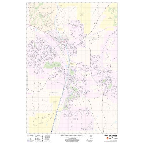
Map of Castle Rock, Colorado uses the base map data from TomTom. The data is updated every 6 months making this one of the most updated printed large map of Castle Rock and its neighborhood areas.
This map is available in a scale of 1:19,000 in 24 x 36 inches. If you want a map with different extents, orientation, or scale, you can do that by customizing the map here.
If you have any questions, we will be happy to answer over the phone (866) 525-2298 or write to us
Details
About Castle Rock, Colorado
Castle Rock is an affluent Home Rule Municipality that is the Country seat of Douglas County, Colorado , United States. Located midway between Denver and Colorado Springs, Castle Rock is part of the Denver metropolitan area and Front Range Urban Corridor. Castle Rock is 28 miles(45 km) south of downtown Denver and 37 miles (60 km) north of Colorado Springs. Castle Rock is within the Colorado Foothills Life Zone.
Facts and Figures of Castle Rock, Colorado
Latitudinal and Longitudinal Coordinates-39.22’34” N104.51’13” W
Elevation-6,224 ft (1,897)
Total Area-34.22 square miles (88.64 km2)
ZIP Codes-80104,80108,80109
Area Code-303 & 720
More maps of Castle Rock, Colorado
More Information
| SKU | svd_co_castle_rock_24 |
|---|---|
| Map Scale | 1:19,000 |
| Flat Size | 24 x 36 in |
Reviews
{{title}}
{{detail}}
No reviews yet ...
Have an opinion? Help others decide. Share your knowledge about this product by submitting a review.
{{/items}}
{{#previousPage}}
Previous Page
{{/previousPage}}
{{#load-more-src}}
Next Page
{{/load-more-src}}
★★★★★
★★★★★