New Orleans, Louisiana Inner Metro - Portrait Map
Map of New Orleans, Louisiana uses the base map data from TomTom. The data is updated every 6 months making this one of the most updated printed large map of New Orleans, AL and its neighborhood areas.
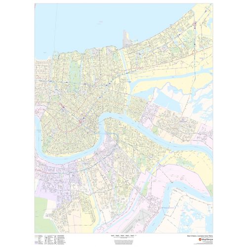
This map is available in a scale of 1:25,000 in 36 x 48 inches and Portrait orientation. If you want a map with different extents, orientation, or scale, you can do that by customizing the map here.
If you have any questions, we will be happy to answer over the phone (866) 525-2298 or write to us
Details
This portrait-oriented map of central New Orleans, Louisiana shows detailed street level information including extensive street labeling. Ideal for planning of deliveries, home services, sales territories, real estate and much more. Base map features include all roads with major roads and highways labelled; neighborhood names; railways; high level land use such as parks and recreation areas, industrial areas and hospital campuses; and a variety of points of interest including schools, libraries, stadiums, museums, border crossings and more.
More Information
| SKU | dmsg-str-new-orleans-p-1 |
|---|---|
| Map Scale | 1:25,000 |
| Flat Size | 36 x 48 in |
| Publication Date | 2019 |
| Publisher Name | MapSherpa |
Reviews
{{title}}
{{detail}}
No reviews yet ...
Have an opinion? Help others decide. Share your knowledge about this product by submitting a review.
{{/items}}
{{#previousPage}}
Previous Page
{{/previousPage}}
{{#load-more-src}}
Next Page
{{/load-more-src}}
★★★★★
★★★★★