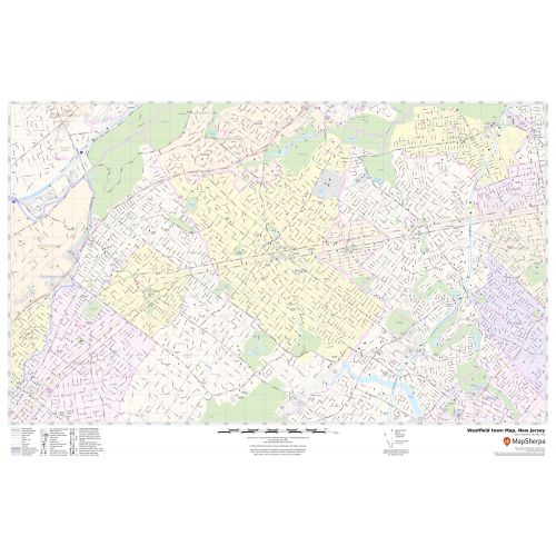
Westfield, NJ Map
Map of Westfield, New Jersey uses the base map data from TomTom. The data is updated every 6 months making this one of the most updated printed large map of Westfield, NJ and its neighborhood areas.
This map is available in a scale of 1:11,000 in 36 x 24 inches. If you want a map with different extents, orientation, or scale, you can do that by customizing the map here.
If you have any questions, we will be happy to answer over the phone (866) 525-2298 or write to us
Details
.
More Information
| SKU | svd_nj_westfield_town_36 |
|---|---|
| Map Scale | 1:11,000 |
| Flat Size | 24 x 36 in |
Reviews
{{title}}
{{detail}}
No reviews yet ...
Have an opinion? Help others decide. Share your knowledge about this product by submitting a review.
{{/items}}
{{#previousPage}}
Previous Page
{{/previousPage}}
{{#load-more-src}}
Next Page
{{/load-more-src}}
★★★★★
★★★★★