Harrison Map
Details
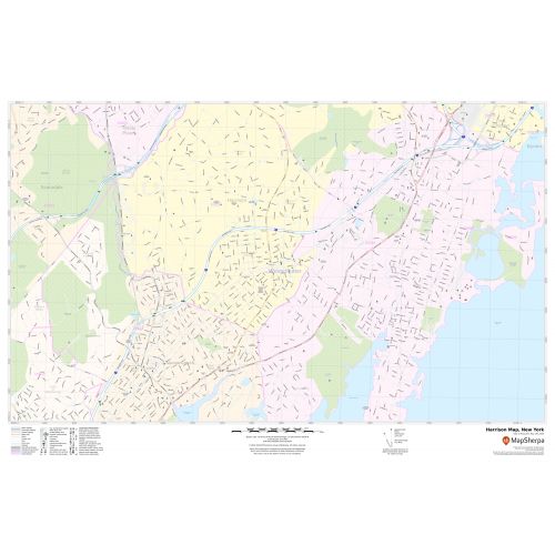
A Self Explanatory Harrison, New York map shows street details(Purchase Street), museums, government buildings, schools, churches (St.Gregory the Great Church in Harrison), major routes, highway(I-287, I-95), and more.
The map also depicts hospital campuses, postal districts(United States Post Office-Harrison), neighborhoods, industrial areas, and recreation areas like parks, Golf courses (Apawamis Golf Club), Hotels and much more. A map legend featured at the bottom helps all the signs, characters graphics, and symbols used throughout the map.
About Harrison, New York
Harrison is a coterminous town-Village located in Westchester County, New York, approximately 22 miles (35 km) northeast of Manhattan. The distance from Harrison Station to Grand Central Terminal in Midtown Manhattan is about 27 miles (43 km). Harrison is bordered by following:
- North Castle
- White Plains
- Rye Town
- Rye City
- Mamaroneck
- Scarcedale
Neighborhood in Harrison, New York
The boundaries of the town of Harrison are the approximate shape of a figure-eight. The southern half is known as simply Harrison, or downtown, while the hamlets of purchase and west Harrison are located in the northern portion of the town.
More Maps Of New York Cities
More Information
| SKU | svd_ny_harrison_36 |
|---|---|
| Map Scale | 1:10,000 |
| Flat Size | 24 x 36 in |
Reviews
{{title}}
{{detail}}