Lindenhurst Map
Details
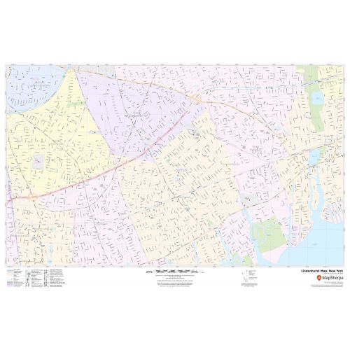
The detailed Lindenhurst map exhibits street details with marked malls, structures, landmarks, government buildings, schools( Lindenhurst Senior High School), churches, hospital campuses, important routes, highways ( Montauk Highway) recreation areas, and more.
The base map also explains Municipal, Town, and Zip code boundaries. A map legend at the bottom helps identify all signs, graphics, and symbols used on the map. There is also an option of adding the title of one’s own choice in the Map.
About Lindenhurst, New York Map
Lindenhurst is a village in Suffolk County, New York, United States, on the southern shore of Long Island in the town of Babylon. The Village is officially known as the Incorporated Village of Lindenhurst. Surrounding areas near Lindenhurst City are:
- West- Copiague
- Northwest- North Amityville
- North-North Lindenhurst
- East-West Babylon
- South- Great South Bay
Facts and Figures of Lindenhurst, New York
- Latitudinal and Longitudinal Coordinates- 40.41’7”N 73.22’20” W
- Total Area-3.81 square miles (9.87 km2)
- Elevation-30 ft (9 m)
- Zip code- 11757
- Area Code-631
More Maps Of New York Cities
More Information
| SKU | svd_ny_lindenhurst_36 |
|---|---|
| Map Scale | 1:10,000 |
| Flat Size | 24 x 36 in |
Reviews
{{title}}
{{detail}}