Port Chester Map
Details
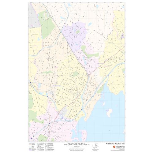
The Port Chester, New York has been made with accuracy based on the well-researched data. The map depicts street details ( North Main Street) with buildings(Life SaversBuilding), shopping centers, schools, churches(Peter's Episcopal Church), Hospital Campus, airports, recreational parks(Columbus Park), and Train Station and more.
The base map also features all the major roads and highways(I-95) and neighborhoods with names. A map legend at the bottom helps us identify all signs and symbols used on the map.
About Port Chester, New York
Port Chester is a village in the U.S state of New York and the largest part of the town of Rye in Westchester County. Located in southeast Westchester, port Chester forms part of the New York City metropolitan statistical area. Port Chester borders the state of Connecticut and the town of Greenwich to the east.
Neighborhoods in Port Chester, New York
Port Chester is unofficially divided into nine distinct neighborhoods:
- North of Westchester Avenue
- Brooksville
- Tower Hill
- Colonial Ridge
- Alden Estate
- Washington Park
- South of Westchester Avenue
- Downtown
- The Browery
- Edgeland
- Purdy’s Grove
More Maps Of New York Cities
More Information
| SKU | svd_ny_port_chester_24 |
|---|---|
| Map Scale | 1:11,000 |
| Flat Size | 24 x 36 in |
Reviews
{{title}}
{{detail}}