Pasadena Map, Texas
Details
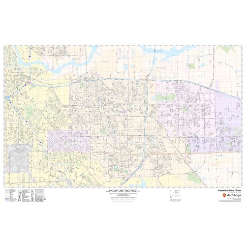
This map of Pasadena has been designed with accuracy based on well-researched data. The map highlights Municipal, town, and ZIP code boundaries.
Transportation routes ( I-610, I-45, I-10, SH-35, SR-225) interlinking the cities of Texas, the USA is marked neatly in the map with color-coded markings. Major infrastructure like colleges, airports, police stations, shopping malls, industrial complexes, hospitals, train stations, recreation parks is also identifiable.
About Pasadena, Texas
Pasadena is a city located in Harris County in the U.S state of Texas, within the Houston-The Woodlands-Sugar Land metropolitan area. The City is bordered by the Houston Ship Channel (Buffalo Bayou/San Jacinto River) to the north. The Southeastern most part of the City fronts Galveston Bay.
The ZIP code of the City ranges from 77501-77507,77059,77586 and the area code is 713,281,346 and 832.
Neighborhoods in Pasadena, Texas
- Vista Villas
- Allendale
- Bayport
- Baywood Oaks
- Baywood Shadows
- Clear Lake City (Pasadena)
- El Jardin del Mar
- Golden Acres
- Old Downtown
- Turtle Creek
- Village Grove
More maps of Texas Cities
More Information
| SKU | svd_tx_pasadena_36 |
|---|---|
| Map Scale | 1:17,000 |
| Flat Size | 24 x 36 in |
Reviews
{{title}}
{{detail}}