Broward County Map (Florida)
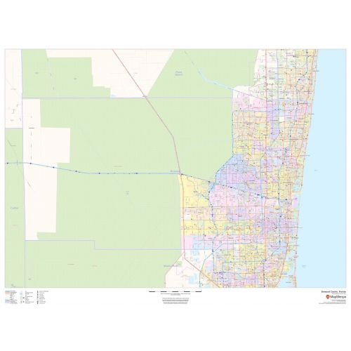
Broward County map, Florida shows regional and street-level information. The base map includes highways, major roads, neighborhood names, railways, high-level land use like parks, recreation areas, industrial areas, and hospital campuses. Major infrastructures like airports and train stations, tourist information, police stations, and shopping centers are also identifiable. The ZIP code boundaries are shown as a secondary map feature.
Details
Broward County, Florida Map Base map features include highways, major roads with labelling, neighborhood names, railways, high level land use such as parks, recreation areas.
More Information
| SKU | dmsg-county-str-broward-FL-1 |
|---|---|
| Map Scale | 1:80,000 |
| Flat Size | 48 x 36 in |
| Publication Date | 2018 |
| Publisher Name | MapSherpa |
Reviews
{{title}}
{{detail}}
No reviews yet ...
Have an opinion? Help others decide. Share your knowledge about this product by submitting a review.
{{/items}}
{{#previousPage}}
Previous Page
{{/previousPage}}
{{#load-more-src}}
Next Page
{{/load-more-src}}
★★★★★
★★★★★
Related Products
Map of Florida
As low as
$20.99
Hillsborough County Map (Florida)
As low as
$39.99
Orange County Map (Florida)
As low as
$38.99
Palm Beach County Map (Florida)
As low as
$38.99
Broward County ZIP Code Map (Florida)
As low as
$42.99
Central Jacksonville Map, Florida - Landscape
As low as
$39.99
Central Jacksonville Map, Florida - Portrait
As low as
$39.99