Clark County Map (Nevada)
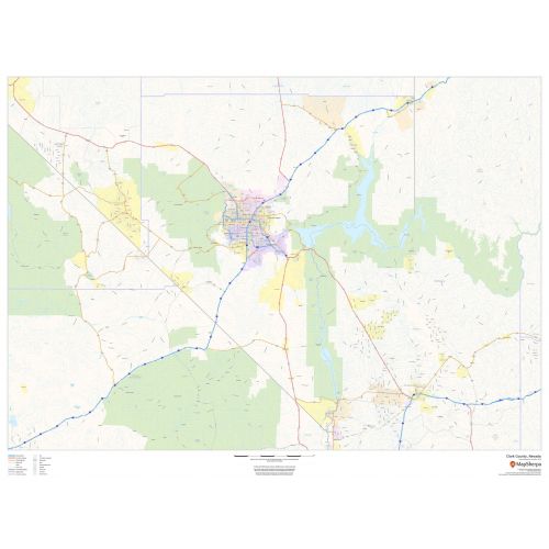
The Clark County map, Nevada shows regional and street-level information. Base map includes highways, major roads, neighborhood names, railways, high-level land use like parks, recreation areas, industrial areas, and hospital campuses. Major infrastructures like airports and train stations, tourist information, police stations, and shopping centers are also identifiable.
Details
Clark County, Nevada Map Shows highways and major roads with highway numbering and high level land use such as parks and recreation areas. Visit The Online Store Of Maptrove.ca
More Information
| SKU | dmsg-county-str-clark-NV-1 |
|---|---|
| Map Scale | 1:275,000 |
| Flat Size | 48 x 36 in |
| Publication Date | 2018 |
| Publisher Name | MapSherpa |
Reviews
{{title}}
{{detail}}
No reviews yet ...
Have an opinion? Help others decide. Share your knowledge about this product by submitting a review.
{{/items}}
{{#previousPage}}
Previous Page
{{/previousPage}}
{{#load-more-src}}
Next Page
{{/load-more-src}}
★★★★★
★★★★★
Related Products
Map of Nevada
As low as
$22.99
Las Vegas, Nevada ZIP Codes Map
As low as
$39.99
North Las Vegas ZIP Code Map, Nevada
As low as
$41.99
Henderson ZIP Code Map, Nevada
As low as
$41.99
Boulder City ZIP Code Map, Nevada
As low as
$41.99
Carson City ZIP Code Map, Nevada
As low as
$41.99
Los Angeles Zip Codes Map, California
As low as
$39.99
Clark County ZIP Code Map (Nevada)
As low as
$39.99
Riverside County ZIP Code Map (California)
As low as
$39.99
Santa Clara County ZIP Code Map (California)
As low as
$39.99