US Travelers Atlas - Hawaii
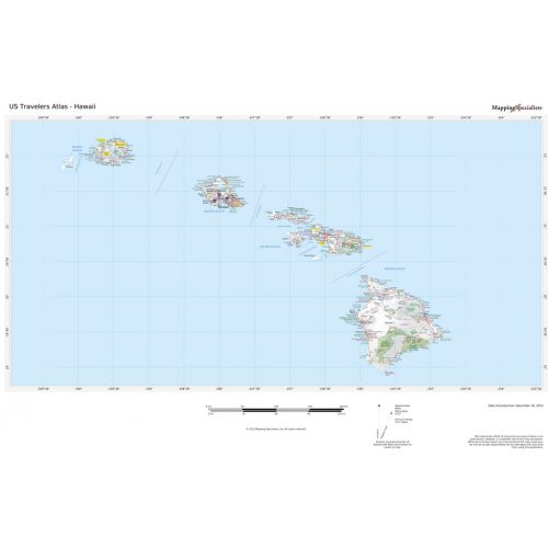
Hawaii Regional data based on a 1:1 million scale dataset. Perfect for the creation of regional and state level maps. Includes highways, cities & towns, points of interest, and shaded relief. Each map includes projection information and scale.
Details
US Travelers Atlas - Hawaii Map perfect for the creation of regional and state level maps. Includes highways, cities & towns, points of interest, and shaded relief.
More Information
| SKU | 664ce8688487d9912c110dac3b04a27b |
|---|---|
| Map Specification | Optimum Print Scale: 1:1,250,000 |
| Publisher Name | Mapping Specialists |
Reviews
{{title}}
{{detail}}
No reviews yet ...
Have an opinion? Help others decide. Share your knowledge about this product by submitting a review.
{{/items}}
{{#previousPage}}
Previous Page
{{/previousPage}}
{{#load-more-src}}
Next Page
{{/load-more-src}}
★★★★★
★★★★★