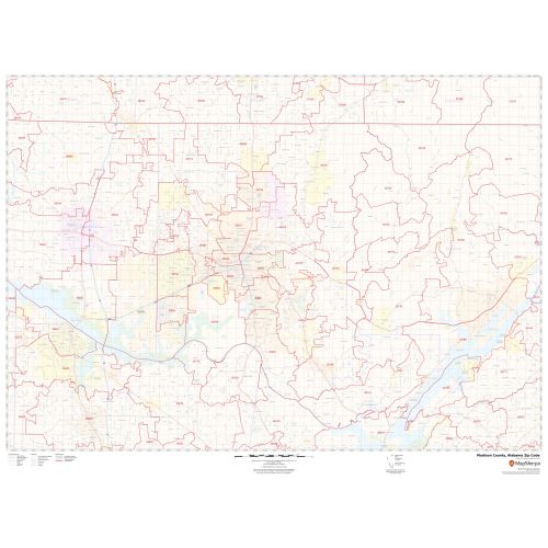
Madison County Zip Code Map, Alabama
This map of Madison County, Alabama has been sketched based on well-researched accurate data showing various Zip codes in the area. It marks all 5 digit Zip code areas using red boundaries overlaid on the road map. Significant physical attributes like, Forest Areas, Major water bodies, recreation parks are clearly visible on the map. Transportation routes (I-565, U.S-72, U.S-431) interlinking the state of Alabama, USA are marked on the map. Major infrastructure like colleges, airports, Police stations, industrial complexes, hospitals,are also identifiable.
Details
About Madison County, Alabama
Madison County is located in the north-central portion of the U.S state of Alabama. It's county seat is Huntsville. Madison County covers parts of the former Decatur County. Madison County is included in the Huntsville, Alabama Metropolitan Statistical Area.
Madison County, Alabama roughly covers 37 Zip Codes Map ranging from 35741-35773, 35801-35899 and the area codes are 256 and 938.
Adjacent Counties near Madison County, Alabama
- Southeast- Marshall County
- Southwest - Morgan County
- North- Lincoln County, Tennessee
- East-Jackson County
- Northeast -Franklin County, Tennessee
- West- Limestone County
More maps of Alabama
More Information
| SKU | svd_madison_county_al |
|---|---|
| Map Scale | 1:70K |
| Flat Size | 36 x 48 in |
Reviews
{{title}}
{{detail}}