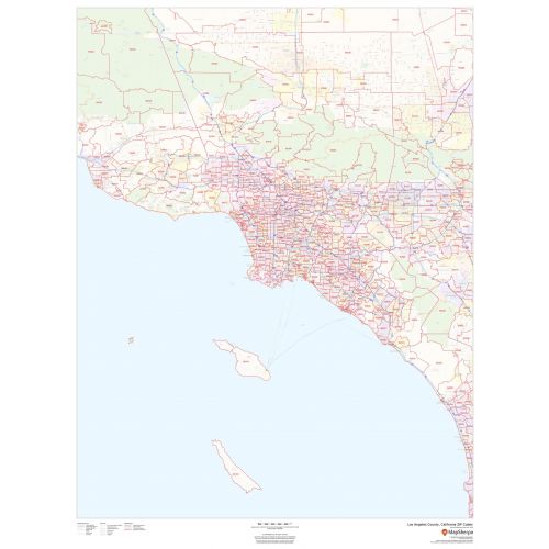
Los Angeles County Zip Code Map, California
Map of Los Angeles County, California uses the base map data from TomTom. The data is updated every 6 months making this one of the most updated printed large map of Los Angeles County, CA and its neighborhood areas.
This map is available in a scale of 1:220,000 in 36 x 48 inches in portrait orientation. If you want a map with different extents, or landscape orientation, or scale, you can do that by customizing the map here.
If you have any questions, we will be happy to answer over the phone (866) 525-2298 or write to us
Details
The California, Los Angeles County ZIP code map is ideal for planning deliveries, home services, sales territories, real estate and much more. It is overlaid on a road map that features all roads with major roads and highways labeled; neighborhood names; railways; and high-level land use such as parks and recreation areas, industrial areas and hospital campuses.
Los Angeles County, California ZIP Codes areas overlaid on a road map also includes Highways & Major Roads, High Level Land, Transportation Hub. Map Available at Online Store Of Maptrove.ca.
Los Angeles Zip Code MapMore Information
| SKU | dmsg-county-zip-los-angeles-CA-1 |
|---|---|
| Map Scale | 1:220,000 |
| Flat Size | 36 x 48 in |
| Publication Date | 2018 |
| Publisher Name | MapSherpa |
Reviews
{{title}}
{{detail}}
No reviews yet ...
Have an opinion? Help others decide. Share your knowledge about this product by submitting a review.
{{/items}}
{{#previousPage}}
Previous Page
{{/previousPage}}
{{#load-more-src}}
Next Page
{{/load-more-src}}
★★★★★
★★★★★
Related Products
California State Map
As low as
$19.99
Orange County ZIP Code Map (California)
As low as
$39.99
Riverside County ZIP Code Map (California)
As low as
$39.99
Sacramento County ZIP Code Map (California)
As low as
$42.99
Los Angeles California Wall Map
As low as
$15.99
Los Angeles Zip Codes Map, California
As low as
$39.99
Los Angeles County Map (California)
As low as
$34.99
Central Los Angeles Map, California - Landscape
As low as
$39.99
Central Los Angeles Map, California - Portrait
As low as
$39.99
We found other products you might like!
Glendale Map
As low as
$24.99
South Los Angeles ZIP Code Map, California
As low as
$41.99
Culver City ZIP Code Map, California
As low as
$41.99
Beverly Hills ZIP Code Map, California
As low as
$41.99
Glendale ZIP Code Map, California
As low as
$41.99
Burbank ZIP Code Map, California
As low as
$41.99