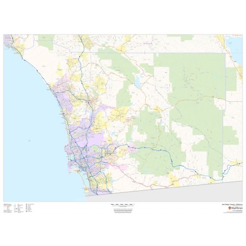
San Diego County Map (California)
The San Diego County map, California shows regional and street-level information. Base map includes highways, major roads, neighborhood names, railways, high-level land use like parks, recreation areas, industrial areas, and hospital campuses. Major infrastructures like airports and train stations, tourist information, police stations, and shopping centers are also identifiable.
This map is available in a scale of 1:140,000 in 48 x 36 inches in landscape orientation. If you want a map with different extents, or landscape orientation, or scale, you can do that by customizing the map here. If you have any questions, we will be happy to answer over the phone (866) 525-2298 or write to us
Details
San Diego County, California Maps shows highway and roads with Labelling, Railways, Transportation hub, Tourist Information, Police Stations
More Information
| SKU | dmsg-county-str-san-diego-CA-1 |
|---|---|
| Map Scale | 1:140,000 |
| Flat Size | 48 x 36 in |
| Publication Date | 2018 |
| Publisher Name | MapSherpa |
Reviews
{{title}}
{{detail}}
No reviews yet ...
Have an opinion? Help others decide. Share your knowledge about this product by submitting a review.
{{/items}}
{{#previousPage}}
Previous Page
{{/previousPage}}
{{#load-more-src}}
Next Page
{{/load-more-src}}
★★★★★
★★★★★
Related Products
Fresno County Map (California)
As low as
$38.99
Contra Costa County Map (California)
As low as
$38.99
Los Angeles County Map (California)
As low as
$34.99
California State Map
As low as
$19.99
San Diego County ZIP Code Map (California)
As low as
$42.99
Central San Diego Map, California - Landscape
As low as
$39.99
Central San Diego Map, California - Portrait
As low as
$39.99