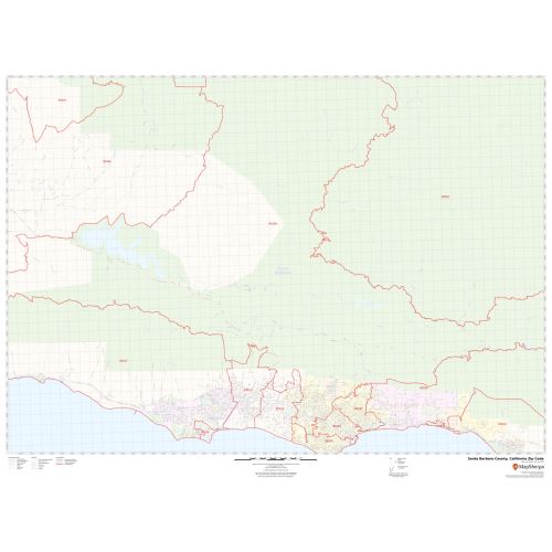
Santa Barbara County Zip Code Map, California
In this Santa Barbara County Zip Code Map, you can find various points of interest and land use areas marked in the city. The map includes all the Zip Codes marked with red boundaries within the county. Important Geographic details like Forested area, water bodies, major roads, and highways (US-101), railways, streets are mentioned at detailed scales. The map also shows high-level land use like parks, recreation areas, Golf Clubs industrial areas, hospital campuses, airports, police stations, shopping malls, and colleges.
This map is available in a scale of 1.45,000 in 48 x 36 inches in landscape orientation. If you want a map with different extents, or landscape orientation, or scale, you can do that by customizing the map here. If you have any questions, we will be happy to answer over the phone (866) 525-2298 or write to us
Details
About Santa Barbara County
Santa Barbara County, California officially the County of Santa Barbara is located in the southern region of the U.S state of California. The county seat is Santa Barbara and the largest city is Santa Maria. Santa Barbara County comprises the Santa Maria-Santa Barbara, California Metropolitan Statistical Area. Most of the county is part of the California Central Coast.
Adjacent Counties and National Protected areas
- North- San Luis Obispo County
- Northeast- Kern County
- Southeast- Ventura County
- Channel Islands National Park (part)
- Guadalupe-Nipomo Dunes National Wildlife Refuge (Part)
- Los Padres National Forest (part)
- Burton Mesa Ecological Reserve
More maps of California
More Information
| SKU | svd_santa_barbara_county_ca |
|---|---|
| Map Scale | 1.45k |
| Flat Size | 36 x 48 in |
Reviews
{{title}}
{{detail}}