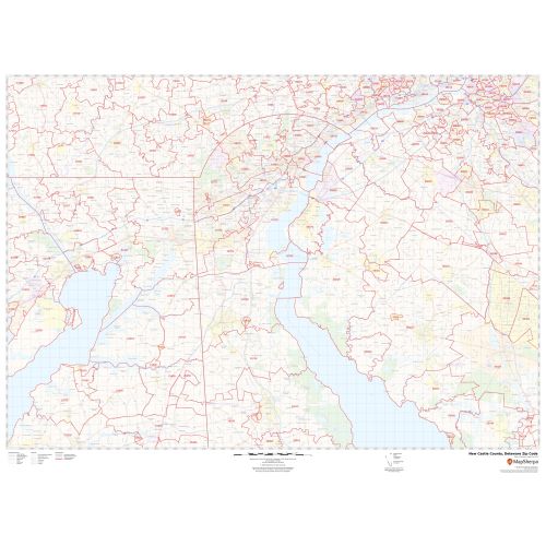
New Castle County Zip Code Map, Delaware
The highly detailed New Castle County, Delaware map shows 5 digit Zip code areas overlaid on a road map marked with red boundaries. The base map features including all the geographic details (Christina River). Interstate highways (I-95, I-295, I-495), major roads, and a variety of points of interest are depicted on this map.
Details
The base map depicts legend at the bottom helps identify all signs, graphics, and symbols used on the map. There is also the option of adding the title of one’s own choice to the Map.
About New Castle County, Delaware
New Castle County is the northernmost of the three counties of the U.S. State of Delaware. The county seat is Wilmington, which is also the state's most populous city. New Castle County is included in the Philadelphia-Camden-Wilmington, PA-NJ-DE-MD Metropolitan Statistical Area.
Adjacent Counties bordering New Castle County, Delaware
- South- Kent County, Delaware
- North- Delaware County, Pennsylvania
- East- Salem County, New Jersey
- Northeast - Gloucester County, New Jersey
- West- Cecil County, Maryland
- Northwest- Chester County, Pennsylvania
More Maps of Delaware
More Information
| SKU | svd_new_castle_county_de |
|---|---|
| Map Scale | 1:70K |
| Flat Size | 36 x 48 in |
Reviews
{{title}}
{{detail}}