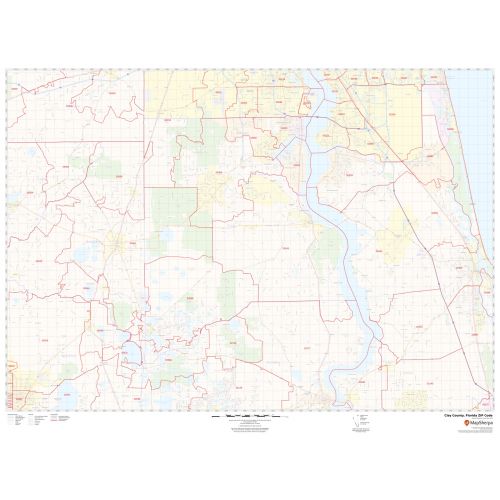
Clay County ZIP Code Map, Florida
This Zip Code Map of Clay County, Florida has been built with precision based on well-researched data. The map marks all the 5 digit Zip Code areas using red boundaries. Significant physical attributes like water bodies, Forested areas, recreation parks are also clearly visible on the map. Transportation routes (US-17 and more) interlinking the counties of the state of Florida, USA are marked on the map with color-coded markings. Major infrastructure like airports, police stations, postal districts, industrial complexes, hospitals, and border crossings are also identifiable.
Details
About Clay County, Florida
Clay County is a county located in the northeastern part of the U.S state of Florida. Clay County is included in the Jacksonville metropolitan statistical area. Its county seat is Green Cove Springs. There are roughly 12 Zip Codes in Clay County, Florida. This Zip Code ranges between 32003-32079, 32160, 32656. The area code is 904. Clay County, Florida overs 8Cities.
Surrounding Counties in Clay County, Florida
- North- Duval County, Florida
- Northwest - Baker County, Florida
- West- Bradford County, Florida
- East- St. Johns County, Florida
- South- Putnam County
- Southwest- Alachua County, Florida
More Information
| SKU | svd_clay_county_fl |
|---|---|
| Map Scale | 1:65,000 |
| Flat Size | 36 x 48 in |
Reviews
{{title}}
{{detail}}