Okaloosa County ZIP Code Map, Florida
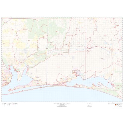
This Zip Code Map of Okaloosa County, Florida gives all the 5 digit Zip Code areas using red boundaries overlaid on the road map. Information on the map also demarcs Town, Municipality, and Zip Code boundaries. Infrastructures such as Hospitals, airports, industrial complexes, recreational parks (Fred Gannon Rocky Bayou State Recreation Area), and other business-centric features can be identified on the map. The base map features all the major roads and highways including secondary and Tertiary highways labeled with neighborhood names.
Details
About Okaloosa County, Florida
Okaloosa County is located in the northwestern portion of the U.S. State of Florida, extending from the Gulf of Mexico to the Alabama state line. Its county seat is Crestview. Sarasota County is included in the Crestview-Fort Walton Beach-Destin, Florida Metropolitan Statistical Area. There are 18 Zip Codes in Okaloosa County approximately, Florida Which range between 32531-32588, and the area code is 850. Okaloosa County covers 13 Cities.
Adjacent Counties surrounding Okaloosa County, Florida
- North- Covington County, Alabama
- West- Santa Rosa County, Florida
- Northwest- Escambia County, Alabama
- East- Walton County, Florida
More Information
| SKU | svd_okaloosa_county_fl |
|---|---|
| Map Scale | 1:75,000 |
| Flat Size | 36 x 48 in |
Reviews
{{title}}
{{detail}}