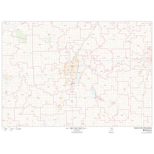
Sangamon County Zip Code Map, Illinois
An ideal Sangamon County Zip Code Map, Illinois shows all the Zip Codes within the County marked with red boundaries. The map also depicts major roads (I-55, I-72, U.S-36, and more), street details, highways, and more. Significant physical attributes like water bodies, Lakes, recreation parks (Sangchris Lake State recreation area), are visible on the map. Major infrastructure like post offices, airports, police stations, industrial complexes is also identifiable. A map legend featured at the bottom helps all the signs, characters, graphics, and symbols used throughout the map for a better explanation.
This map is available in a scale of 1:70,000 in 48 x 36 inches in landscape orientation. If you want a map with different extents, or portrait orientation, or scale, you can do that by customizing the map here. If you have any questions, we will be happy to answer over the phone (866) 525-2298 or write to us
Details
About Sangamon County, Illinois
Sangamon County is a county located in the center of the U.S state of Illinois. Its county seat and largest city is State Capital. Sangamon County is included in the Springfield, Illinois Metropolitan Statistical area.
Counties Surrounding Sangamon County, Illinois and National protected area
- north- Menard County, Logan County
- Southeast- Christian County
- East- Macon County
- South- Montgomery County, Macoupin County
- West - Morgan County, Cass County
- Lincoln Home National Historic Site
More Information
| SKU | svd_sangamon_county_il |
|---|---|
| Map Scale | 1:70K |
| Flat Size | 36 x 48 in |
Reviews
{{title}}
{{detail}}