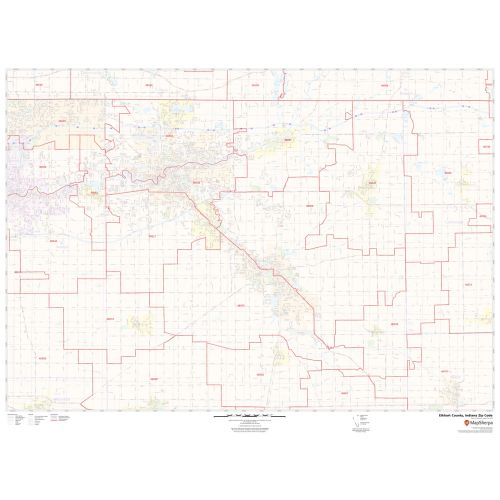
Elkhart County Zip Code Map, Indiana
The detailed Elkhart County Zip Code Map, Indiana explains various zip codes in the area. It marks all 5 digit zip code areas using red boundaries overlaid on the road map as well as the physical features and water bodies (St. Joseph River) in Elkhart County. The major roads and highways and recreational areas are easily identifiable on the map. Railways, ferry routes, and high-level land use such as parks and recreation areas, industrial areas, postal districts, and hospital campuses are mentioned at a detailed scale. A map legend at the bottom helps identify all signs and symbols used on the map.
This map is available in a scale of 1:35,000 in 48 x 36 inches in landscape orientation. If you want a map with different extents, or portrait orientation, or scale, you can do that by customizing the map here. If you have any questions, we will be happy to answer over the phone (866) 525-2298 or write to us
Details
About Elkhart County, Indiana
Elkhart County is a county in the U.S. State of Indiana. The county seat is Goshen. Elkhart County is part of the Elkhart-Goshen Metropolitan Statistical Area which in turn is part of South Bend-Elkhart-Mishawaka Combined Statistical Area.
Bordering Elkhart County, Indiana
- Southeast- Noble County
- North- Indianapolis, Indiana
- South- Kosciusko County
- West- St. Joseph County
- East- South Bend, Indiana, and Chicago, Illinois
More Information
| SKU | svd_elkhart_county_in |
|---|---|
| Map Scale | 1:35K |
| Flat Size | 36 x 48 in |
Reviews
{{title}}
{{detail}}