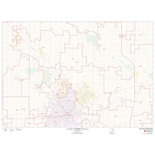
Linn County Zip Code Map, Iowa
An ideal Linn County Zip Code Map, Iowa displays all the Zip Codes within the County marked with red boundaries. The map also depicts major roads (I-380, Iowa Highway-27, U.S-30, and more), street details, and more. Significant physical attributes like water bodies, recreation parks, are visible on the map. Major infrastructure like post offices, airports, police stations, industrial complexes is also identifiable. A map legend featured at the bottom helps all the signs, characters, graphics, and symbols used throughout the map for a better explanation.
This map is available in a scale of 1:35,000 in 48 x 36 inches in landscape orientation. If you want a map with different extents, or portrait orientation, or scale, you can do that by customizing the map here. If you have any questions, we will be happy to answer over the phone (866) 525-2298 or write to us
Details
About Linn County, Iowa
Linn County is a county located in the center of the U.S state of Iowa. Its county seat is Cedar Rapids. Linn County is included in the Cedar Rapids, IA Metropolitan Statistical area.
There are roughly 31 Zip Codes in Linn County, Iowa. This Zip Code ranges from 52202-52233, 52302-52352, 52401-52499. The area code is 319. Linn County, Iowa covers 18 Cities.
Counties Surrounding Linn County, Iowa
- Southeast- Cedar County
- East- Jones County
- South- Johnson County
- West - Benton County
- Southwest- Iowa County
- Northeast- Delaware County
More Information
| SKU | svd_linn_county_io |
|---|---|
| Map Scale | 1:35K |
| Flat Size | 36 x 48 in |
Reviews
{{title}}
{{detail}}