Johnson County Zip Code Map, Kansas
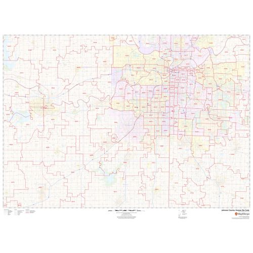
The self-explanatory Johnson County Zip Code Map, Kansas depicts Zip codes that are written in a 5-digit format. These digits are divided into 3 main parts- the national area, the region or city, and the delivery area. The base map also features detailed road information about main water bodies (Kansas River), major highways (I-35, I-635, US-50, K-7, and more) neighborhoods, borders, and other major landmarks. The map also depicts Airports (Johnson County Executive Airport) hospital campuses, postal districts, industrial areas, and recreation areas and parks, and much more. A map legend featured at the bottom helps all the signs, characters graphics, and symbols used throughout the map.
This map is available in a scale of 1:70,000 in 48 x 36 inches in landscape orientation. If you want a map with different extents, or portrait orientation, or scale, you can do that by customizing the map here. If you have any questions, we will be happy to answer over the phone (866) 525-2298 or write to us
Details
About Johnson County, Kansas
Johnson County, Kansas is a county located in the U.S. State of Kansas. Largely suburban the county contains a number of suburbs of Kansas City, Missouri including Overland Park. The county seat is Olathe. The natural topography of the county consists of gently rolling terrain. The elevation generally increases from north to south as the distance from the Kansas and Missouri rivers increases.
More Information
| SKU | svd_johnson_county_ks |
|---|---|
| Map Scale | 1:70K |
| Flat Size | 36 x 48 in |
Reviews
{{title}}
{{detail}}