Hampden County Zip Code Map, Massachusetts
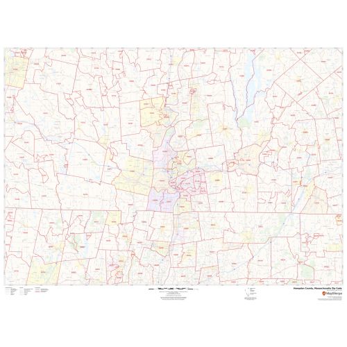
The detailed Hampden County Zip Code Map, Massachusetts highlights Municipal, Town, and Zip Code boundaries. The map exhibits in detail Zip Code areas overlaid on a road map. The major roads and highways (I-90, I-91, I-291, and more) water bodies, recreational parks are easily identifiable on the map. A map legend at the bottom helps identify all signs and symbols used on the map. Infrastructures such as hospitals, industrial complexes, and other business-centric features can be easily recognized on the map. This customizable map is available in various sizes, landscape, and portrait orientation, and various premium finishes.
Details
About Hampden County, Massachusetts
Hampden County is a non-governmental county located in the Pioneer Valley of the state of Massachusetts. Its traditional county seat is Springfield. Hampden County is part of the Springfield, MA Metropolitan Statistical Area. It is the most urban county in western Massachusetts.
Surrounding Hampden County, Massachusetts
- North-Hampshire County
- West- Berkshire County
- South- Hartford County, Connecticut
- East-Worcester County
- Southeast- Tolland County, Connecticut
- Southwest- Litchfield County, Connecticut
More Information
| SKU | svd_hampden_county_ma |
|---|---|
| Map Scale | 1:70K |
| Flat Size | 36 x 48 in |
Reviews
{{title}}
{{detail}}