Rockingham County Zip Code Map, New Hampshire
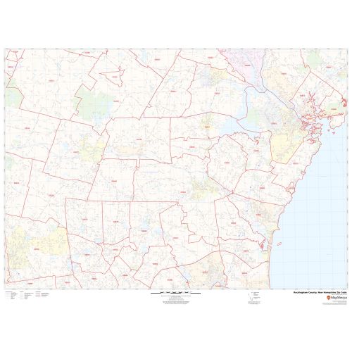
This Zip Code Map of Rockingham County, New Hampshire gives all the 5 digit Zip Code areas using red boundaries overlaid on the road map. Information on the map also demarcs Town, Municipality, and Zip Code boundaries and forested areas (Great Bay National Wildlife Refuge). Infrastructures such as Hospitals, airports, industrial complexes, recreational parks (Rockingham County Botanical Garden, Rockingham Park), and other business-centric features can be identified on the map. The base map features all the major roads and highways including secondary and Tertiary highways labeled with neighborhood names.
This map is available in a scale of 1:35,000 in 48 x 36 inches in landscape orientation. If you want a map with different extents, or portrait orientation, or scale, you can do that by customizing the map here. If you have any questions, we will be happy to answer over the phone (866) 525-2298 or write to us
Details
About Rockingham County, New Hampshire
Rockingham County is a County in the U.S. State of New Hampshire. Its county seat is Brentwood. Rockingham County is part of the Boston-Cambridge- Newton, MA-NH Metropolitan Statistical Area, and the greater Boston-Worcester-Providence, MA-RI- NH-CT Combined Statistical Area. The county contains the entirety of New Hampshire’s Atlantic Coast, which is approximately 18 miles (29 Km). Rockingham County features several resort towns. Rockingham County, New Hampshire approximately covers 44 Zip Codes, and area code is 603.
More Information
| SKU | svd_rockingham_county_nh |
|---|---|
| Map Scale | 1:35K |
| Flat Size | 36 x 48 in |
Reviews
{{title}}
{{detail}}