Gloucester County Zip Code Map, New Jersey
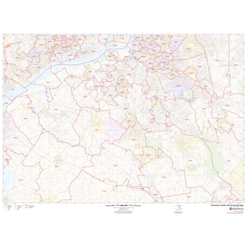
The highly detailed Gloucester County Zip Code Map, New Jersey shows 5 digit Zip code areas overlaid on a road map marked with red boundaries. The base map features all the geographic details including forested areas (Great Egg Harbor Scenic and Recreational River), water bodies, major roads, and highways (I-295, US-130, County Road-534, and more). The map also entails various street details with marked landmarks, government buildings, schools, Hospital Campus, Airports, and a variety of points of interest are depicted on this map. The base map depicts legend at the bottom helps identify all signs, graphics, and symbols used on the map.
This map is available in a scale of 1:35,000 in 48 x 36 inches in landscape orientation. If you want a map with different extents, or portrait orientation, or scale, you can do that by customizing the map here. If you have any questions, we will be happy to answer over the phone (866) 525-2298 or write to us
Details
About Gloucester County, New Jersey
Gloucester County is a county located in the western part of the U.S. State of New Jersey. Its county seat is Woodbury. Gloucester County is located south of Philadelphia and northwest of Atlantic City. It is part of the Camden, New Jersey Metropolitan Division of the Philadelphia-Camden-Wilmington Metropolitan Statistical Area as well as the Delaware Valley Combined Statistical Area.
More Information
| SKU | svd_gloucester_county_nj |
|---|---|
| Map Scale | 1:35k |
| Flat Size | 36 x 48 in |
Reviews
{{title}}
{{detail}}