Morris County Zip Code Map, New Jersey
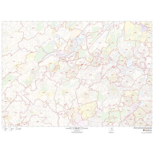
In this Morris County Zip Code Map, New Jersey you can find various points of interest and land use areas marked in the city. This map includes all the Zip Codes marked with red boundaries within the county. Important Geographic details like Forested area, water bodies (Rockaway River and more), major roads, and highways (I-80, U.S-280, I-287, US-46, and more), railways, streets are mentioned at detailed scales. The map also shows high-level land use like parks, recreation areas, Golf Clubs industrial areas, hospital campuses, airports (Morristown Municipal Airport), police stations, shopping malls, and colleges.
This map is available in a scale of 1:35,000 in 48 x 36 inches in landscape orientation. If you want a map with different extents, or portrait orientation, or scale, you can do that by customizing the map here. If you have any questions, we will be happy to answer over the phone (866) 525-2298 or write to us
Details
About Morris County Zip Code Map, New Jersey
Morris County is a county in the U.S state of New Jersey, about 30 miles (48 km) west of New York City. The county seat is Morristown. Morris County is a part of the New York Metropolitan Area and is divided into 39 municipalities, but has no large cities.
Adjacent counties surrounding Morris County Zip Code Map, New Jersey
- Northeast- Passaic County
- North- Sussex County
- South- Somerset County
- West- Warren County
- East- Essex County
- Southwest- Hunterdon County
- Southeast- Union County
More Information
| SKU | svd_morris_county_nj |
|---|---|
| Map Scale | 1:35k |
| Flat Size | 36 x 48 in |
Reviews
{{title}}
{{detail}}