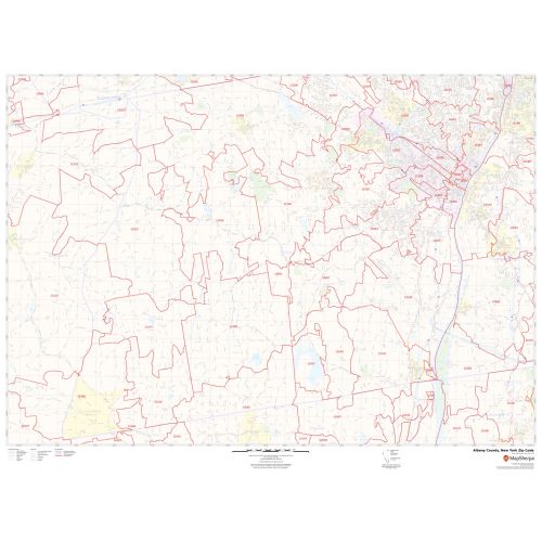
Albany County Zip Code Map, New York
An ideal Albany County Zip Code Map, New York displays all the Zip Codes within the County marked with red boundaries. The map also depicts major roads (I-87, I-90, and more), street details, and more. Significant physical attributes like forested areas, water bodies (Mohawk River), recreation parks (Thompson’s Lake State Park, Washington Park, and more), are visible on the map. Major infrastructure like post offices, airports (Albany International Airport), police stations, industrial complexes is also identifiable. A map legend featured at the bottom helps all the signs, characters, graphics, and symbols used throughout the map for a better explanation.
This map is available in a scale of 1:35,000 in 48 x 36 inches in landscape orientation. If you want a map with different extents, or portrait orientation, or scale, you can do that by customizing the map here. If you have any questions, we will be happy to answer over the phone (866) 525-2298 or write to us
Details
About Albany County, New York
Albany County is a county in the state of New York, in the United States. Its northern border is formed by the Mohawk River, at its confluence with Hudson River, which is on the east. The county seat and largest city are Albany, the state capital of New York.
Counties Surrounding Albany County, New York
- Southeast- Columbia County
- East- Rensselaer County
- South- Greene County
- West - Schoharie County
- North- Saratoga County
- Northwest- Schenectady County
More Information
| SKU | svd_albany_county_ny |
|---|---|
| Map Scale | 1:35K |
| Flat Size | 36 x 48 in |
Reviews
{{title}}
{{detail}}