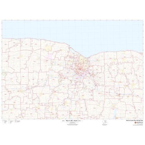
Luzerne County Zip Code Map, Pennsylvania
This Zip Code Map of Luzerne County, Pennsylvania has been sketched based on well-researched accurate data showing various Zip Codes in the area. It marks all 5 digit Zip code areas using red boundaries overlaid on the road map. Significant physical attributes like, Forest Areas (Pinchot State Forest), Major water bodies (Harveys Lake) recreation parks (Ricketts Glen State Park, Frances Slocum State Park, and more) are visible on the map. Transportation routes (I-80, I-81, U.S-11, PA-29, and more) interlinking the state of Pennsylvania, USA are marked on the map. Major infrastructure like colleges, airports (Canadian Pacific Railway), Police stations, industrial complexes, hospitals is also identifiable.
This map is available in a scale of 1:35,000 in 48 x 36 inches in landscape orientation. If you want a map with different extents, or portrait orientation, or scale, you can do that by customizing the map here. If you have any questions, we will be happy to answer over the phone (866) 525-2298 or write to us
Details
About Luzerne County, Pennsylvania
Luzerne County is a county in the Commonwealth of Pennsylvania. Its County Seat and largest City is Wilkes-Barre. Luzerne County is included in the Scranton-Wilkes-Barre-Hazleton Metropolitan Statistical Area. Luzerne County consists of 76 independently governing municipalities which include 4 Cities, 36 boroughs, and 36 townships. The area codes of the County area 570 and 272.
More Information
| SKU | svd_luzerne_county_pa |
|---|---|
| Map Scale | 1:35k |
| Flat Size | 36 x 48 in |
Reviews
{{title}}
{{detail}}