Northampton County Zip Code Map, Pennsylvania
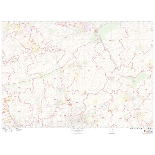
The self-explanatory Northampton County Zip Code Map, Pennsylvania depicts Zip codes that are written in a 5-digit format. These digits are divided into 3 main parts- the national area, the region or city, and the delivery area. The base map also features detailed information about forested areas (Delaware Water Gap National Recreation Area, Middle Delaware National Scenic River (Part)), water bodies, major highways (I-78, US-22, PA-33, PA-145, and more) neighborhoods, borders, and other major landmarks. The map also depicts Airports hospital campuses, postal districts, industrial areas, and recreation areas and parks, and much more. A map legend featured at the bottom helps all the signs, characters graphics, and symbols used throughout the map.
This map is available in a scale of 1:35,000 in 48 x 36 inches in landscape orientation. If you want a map with different extents, or portrait orientation, or scale, you can do that by customizing the map here. If you have any questions, we will be happy to answer over the phone (866) 525-2298 or write to us
Details
About Northampton County, Pennsylvania
Northampton County is a County in the northeastern section of the U.S state of Pennsylvania. Its County Seat is Easton. Northampton County is included in the Allentown-Bethlehem-Easton, PA-NJ Metropolitan Statistical Area. Its northern edge borders The Poconos, and its eastern section borders the Delaware River, which divides Pennsylvania and New Jersey.
More Information
| SKU | svd_northampton_county_pa |
|---|---|
| Map Scale | 1:35k |
| Flat Size | 36 x 48 in |
Reviews
{{title}}
{{detail}}