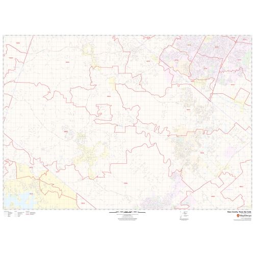
Hays County Zip Code Map, Texas
In this Hays County Zip Code Map, Texas you can find various points of interest and land use areas marked in the city. This map includes all the Zip Codes marked with red boundaries within the county. Important Geographic details like Forested area, water bodies, major roads, and highways (I-35, U.S-290, SH-21, SH-80, and more), railways, streets are mentioned at detailed scales. The map also shows high-level land use like parks, recreation areas( Five Mile Dam Park and more), Golf Clubs industrial areas, hospital campuses, airports, police stations, schools, and colleges (Texas State University and more).
This map is available in a scale of 1:35,000 in 48 x 36 inches in landscape orientation. If you want a map with different extents, or portrait orientation, or scale, you can do that by customizing the map here. If you have any questions, we will be happy to answer over the phone (866) 525-2298 or write to us
Details
About Hays County Zip Code Map, Texas
Hays County is located on the Edwards Plateau in the U.S state of Texas. Its county seat is San Marcos. Hays County is part of the Austin-Round Rock metropolitan area. The Zip Code of Hays County, Texas ranges between 78610-78676, 78737 and roughly covers 8 Zip Codes. The area codes of Hays County, Texas are 512 and 737.
More Information
| SKU | svd_hays_county_tx |
|---|---|
| Map Scale | 1:35k |
| Flat Size | 36 x 48 in |
Reviews
{{title}}
{{detail}}