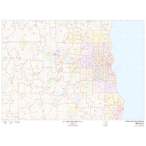
Waukesha County Zip Code Map, Wisconsin
Map of Waukesha County, Wisconsin uses the base map data from TomTom. The data is updated every 6 months making this one of the most updated printed large map of Waukesha County, WI and its neighborhood areas.
This map is available in a scale of 1:70,000 in 48 x 36 inches in landscape orientation. If you want a map with different extents, or portrait orientation, or scale, you can do that by customizing the map here.
If you have any questions, we will be happy to answer over the phone (866) 525-2298 or write to us
Details
About Waukesha County, Wisconsin
Waukesha County is a county located in the U.S State of Wisconsin. The county seat is Waukesha. Waukesha County is included in the Milwaukee-Waukesha-West Allis, WI Metropolitan Statistical Area. Because of its large number of Lakes, the northwestern corner of Waukesha County is referred to as “Lake Country”.The Adjacent counties surrounding Waukesha County, Wisconsin are:
- East- Milwaukee County
- Southwest- Walworth County
- North- Washington County
- Northeast- Ozaukee County
- West- Jefferson County
- Northwest- Dodge County
- Southeast- Racine County
More Information
| SKU | svd_waukesha_county_wi |
|---|---|
| Map Scale | 1:70K |
| Flat Size | 36 x 48 in |
Reviews
{{title}}
{{detail}}
No reviews yet ...
Have an opinion? Help others decide. Share your knowledge about this product by submitting a review.
{{/items}}
{{#previousPage}}
Previous Page
{{/previousPage}}
{{#load-more-src}}
Next Page
{{/load-more-src}}
★★★★★
★★★★★