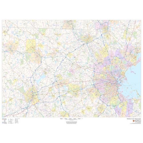
Middlesex County Map (Massachusetts)
The Middlesex County Map shows information about major highways, roads, neighborhood names, railways, high-level land use like parks, recreation areas, industrial areas, and hospital campuses. You can also identify major infrastructures like airports and train stations, tourist information, police stations, and shopping centers on the map. The ZIP code boundaries are shown as a secondary map feature.
Details
Middlesex County Map Shows highways & major roads with highway numbering, high level land use such as parks, recreation areas, Map Available at Online Store Of Maptrove.ca, Visit Now.
More Information
| SKU | dmsg-county-str-middlesex-MA-1 |
|---|---|
| Map Scale | 1:85,000 |
| Flat Size | 48 x 36 in |
| Publication Date | 2018 |
| Publisher Name | MapSherpa |
Reviews
{{title}}
{{detail}}
No reviews yet ...
Have an opinion? Help others decide. Share your knowledge about this product by submitting a review.
{{/items}}
{{#previousPage}}
Previous Page
{{/previousPage}}
{{#load-more-src}}
Next Page
{{/load-more-src}}
★★★★★
★★★★★