Moreno Valley Map
Details
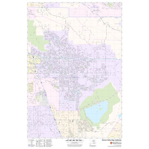
The Moreno Valley City, California map has been designed with accuracy and based on well-researched data. The town, municipality, and Zip code areas are demarcated on the map. The base map features all the major roads and highways (I-215, SR-60), including Interstate and State highways labeled with neighborhood names.
The map shows street details with clearly marked landmarks, government buildings, schools, churches, Hospital Campus, Airport’s recreational parks, lakes (Lake Perris), and more. A map legend featured at the bottom helps all the signs, characters graphics, and symbols used throughout the map.
About Moreno Valley, California
Moreno Valley is a city located in Riverside County, California, and is part of the San Bernardino-Riverside Metropolitan Area. Moreno Valley is also part of the Greater Los Angeles area. The ZIP codes of the City range from 92551-92557 and the area code is 909,951.
Moreno Valley is located at a geographic crossroads.
Bordering Moreno Valley, California
- North- San Bernardino valley and San Bernardino Mountains
- East- San Gorgonio pass and Coachella Valley
- South-Lake Perris, Perris, and the San Jacinto Mountains
- West-Riverside
- Northwest- Box Springs Mountain
More maps of California Cities
More Information
| SKU | svd_ca_moreno_valley_24 |
|---|---|
| Map Scale | 1:19,000 |
| Flat Size | 24 x 36 in |
Reviews
{{title}}
{{detail}}