Northwestern United States and Canadian Provinces - Published 1950
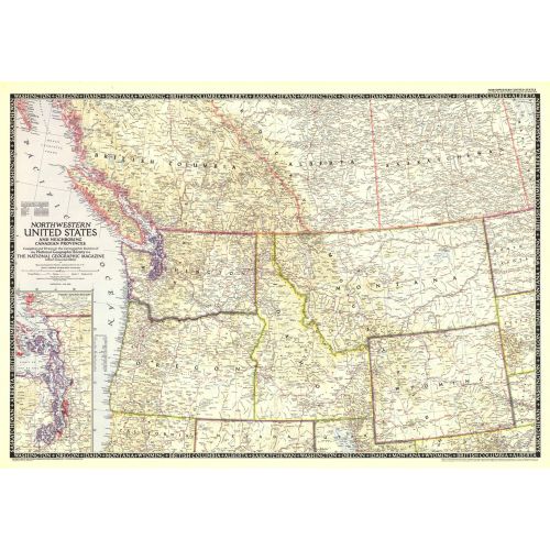
The Northwestern United States and Neighboring Canadian Provinces map is the sixth in a series of sectional maps of the United States dated from 1945 to 1950. Published in June 1950, it provides a thorough look at the states of Washington, Oregon, Idaho, Montana, and Wyoming, as well as the southern portions of British Columbia, Alberta, and Saskatchewan.
Details
The Northwestern United States and Neighboring Canadian Provinces map is the sixth in a series of sectional maps of the United States dated from 1945 to 1950. Published in June 1950, it provides a thorough look at the states of Washington, Oregon, Idaho, Montana, and Wyoming, as well as the southern portions of British Columbia, Alberta, and Saskatchewan.
More Information
| SKU | ngmaps-HM19500600-1 |
|---|---|
| Flat Size | 36.25 x 25.5 in |
| Publication Date | 1950 |
| Publisher Name | National Geographic |
Reviews
{{title}}
{{detail}}
No reviews yet ...
Have an opinion? Help others decide. Share your knowledge about this product by submitting a review.
{{/items}}
{{#previousPage}}
Previous Page
{{/previousPage}}
{{#load-more-src}}
Next Page
{{/load-more-src}}
★★★★★
★★★★★