Western Australia State Supermap
Details
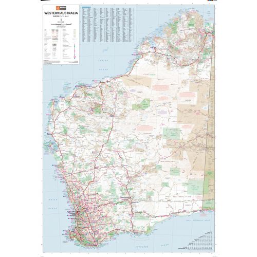
Western Australia Map
This extra large Western Australia map measures 40.5 x 57.5 in. You can mount this map on the walls of your homes, offices, and classrooms and use it for references.
All major road networks along with Outback fuel, distances, and major national parks are identifiable on the map. A map legend and an index of towns and localities make this map easy to read and understand.
You can purchase this map in a selection of finishing materials like paper, matte plastic, and laminated.
Where is Western Australia?
Western Australia state occupies the entire western third of Australia. It is bounded by the Indian Ocean, the Southern Ocean, the Northern Territory, and South Australia.
It is the largest state in Australia and the second-largest country subdivision in the world. Even though the state has about 2.6 million inhabitants – 79% of them lives in Perth. Perth is also the capital city of Western Australia.
Major Cities in Western Australia
Five largest cities in the state by population are:
You can buy maps of these cities by clicking on their names above. These city maps are customizable and you can center them around your preferred location.
More Information
| SKU | hema-ZEOWES01F-1 |
|---|---|
| Map Scale | 1:1,750,000 |
| Flat Size | 39.5 x 56.5 in |
| Publication Date | 2014-08-01 |
| Publisher Name | Hema Maps |
Reviews
{{title}}
{{detail}}