Tactical Pilotage Charts
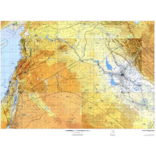
Published by the United States government in the 1980s and 1990s, Tactical Pilotage Charts are topographic maps with detailed aeronautical information. Towns, villages, pipelines, roads, railroads and similar cultural information are also indicated. Coverage includes the Mediterranean, Africa, the Middle East, across the Himalayas to Japan. Individual map sheets have been combined into a seamless layer. Suitable for print maps between 1:250,000 and 1:1,000,000.
Details
Published by the United States government in the 1980s and 1990s, Tactical Pilotage Charts are topographic maps with detailed aeronautical information. Towns, villages, pipelines, roads, railroads and similar cultural information are also indicated. Coverage includes the Mediterranean, Africa, the Middle East, across the Himalayas to Japan. Individual map sheets have been combined into a seamless layer. Suitable for print maps between 1:250,000 and 1:1,000,000.
More Information
| SKU | 54d52893fdd99f12ecd62e6dfb0ad5cf |
|---|---|
| Map Specification | Min Print Scale - 1:1,000,000 Max Print Scale - 1:250,000 Optimal Print Scale - 1:500,000 |
| Publisher Name | MapSherpa |
Reviews
{{title}}
{{detail}}