Simi Valley Map
Details
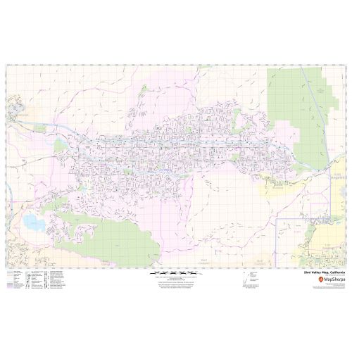
The Simi Valley City, California map has been designed with accuracy and based on well-researched data. The town, municipality, and Zip code areas are demarcated on the map. The base map features all the major roads and highways (I-5, SR-23, SR-118, SR-27), including Interstate and State highways labeled with neighborhood names.
The map shows street details with clearly marked landmarks, government buildings, schools, churches, Hospital Campus, Airport’s recreational parks, lakes, and more. A map legend featured at the bottom helps all the signs, characters graphics, and symbols used throughout the map.
About Simi Valley, California
The City of Simi Valley in the eponymous Valley is in the southeast corner of Ventura County, California, United States, 40 miles (64 km) from downtown Los Angeles, making it part of the Greater Los Angeles Area. The City grew as a commuter bedroom community for the Cities in the Los Angeles area and San Fernando Valley when a freeway was built over the Santa Susana Pass.
Bordering Simi Valley, California
- North- Santa Susana Mountains
- East- Simi Hills
- South-Simi Hills
- SouthWest-Thousand Oaks
- West- Moorpark
More maps of California Cities
More Information
| SKU | svd_ca_simi_valley_24 |
|---|---|
| Map Scale | 1:16,000 |
| Flat Size | 24 x 36 in |
Reviews
{{title}}
{{detail}}